We’re proud to present Poly Haven’s latest asset collection: A Verdant Trail.
The goal of this project was to explore the idea of traveling to different biomes and capturing scans over a few days to create a cohesive asset pack that can be used to recreate similar environments.
South Africa has an absurd number of biomes within relatively easy reach, so our idea was to see what would be involved in creating an asset pack for each of them… one day…
https://en.wikipedia.org/wiki/List_of_vegetation_types_of_South_Africa
We first started this project back in April of 2023, slowly gathering references, scouting locations, and planning the scope of the final collection.
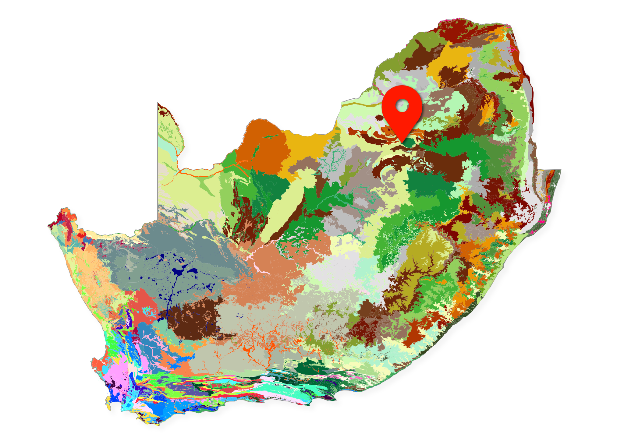
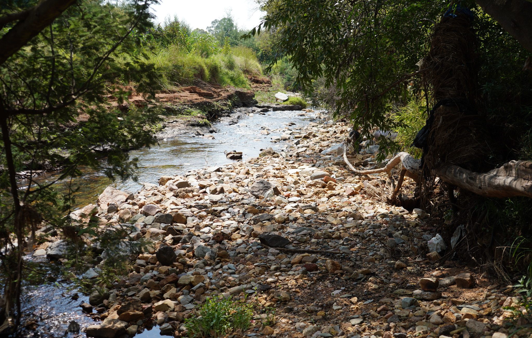
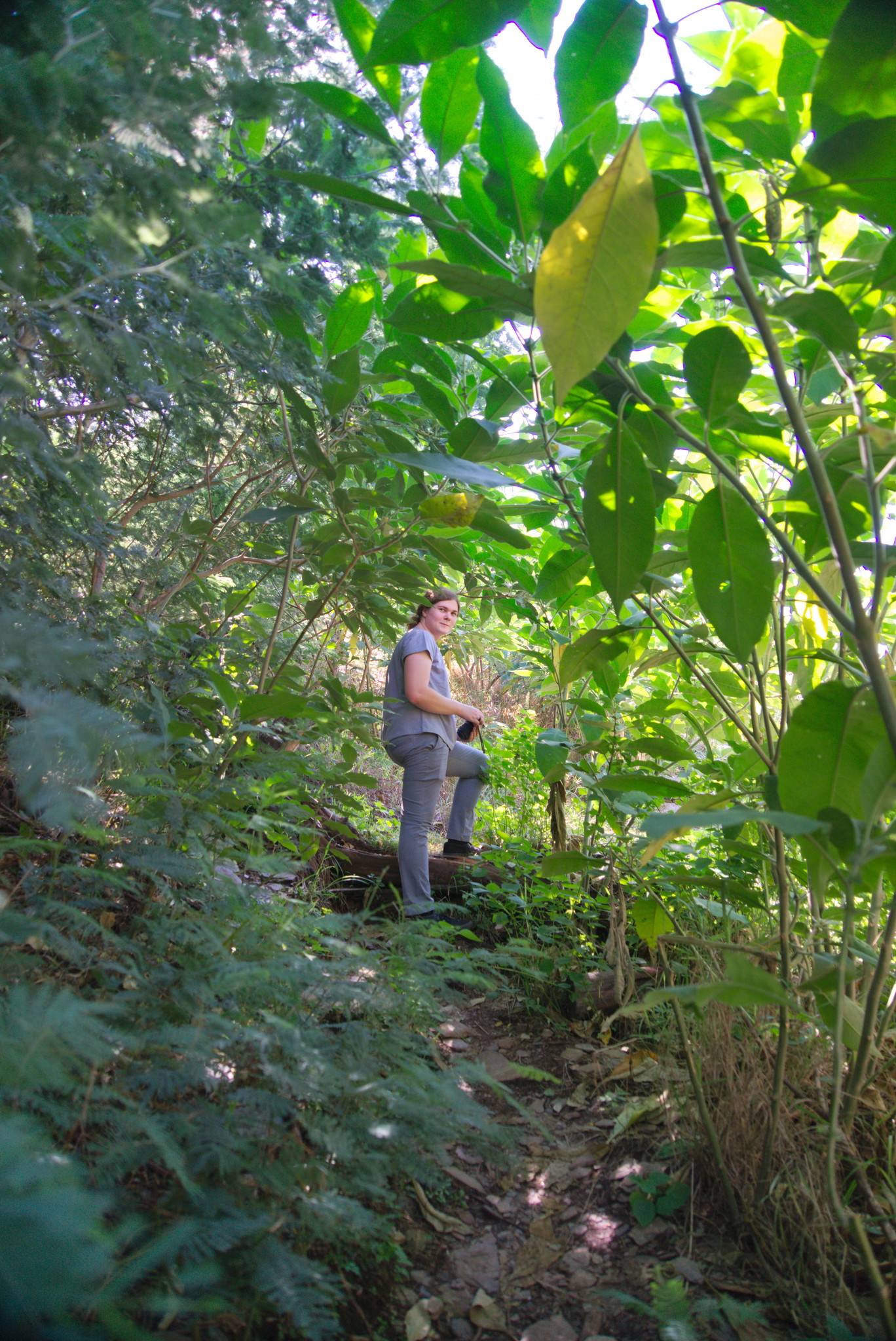
Our working title for the project was “Little Falls”, which is the name of the suburb where we gathered most of our data. We had some grand ideas of rivers and waterfalls as well, which were soon decided to be too much of a time investment for something we can’t publish as an asset on Poly Haven.
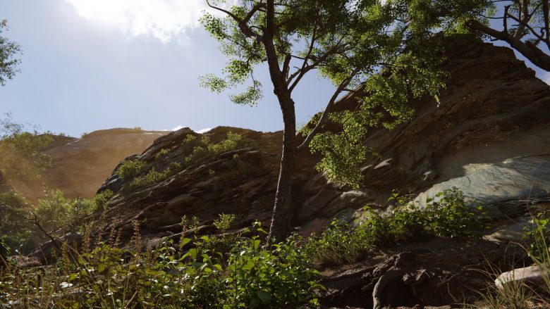
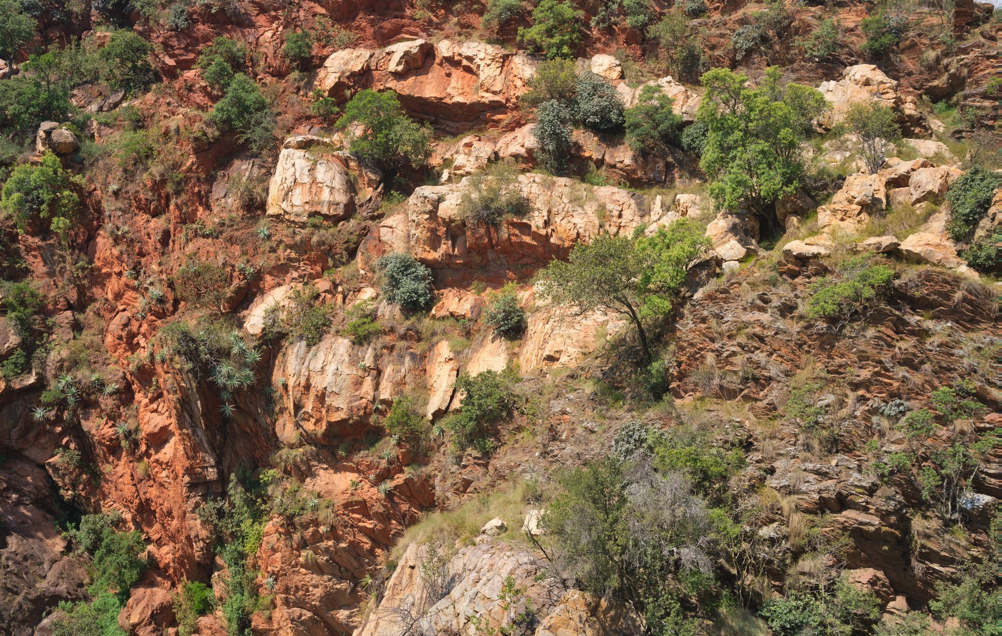
This biome, technically a grassland, is extremely common in the highveld of South Africa. Our initial reason for choosing it as our first biome project was that it was very accessible to us. It covers most of our province and we’re all very familiar with it.
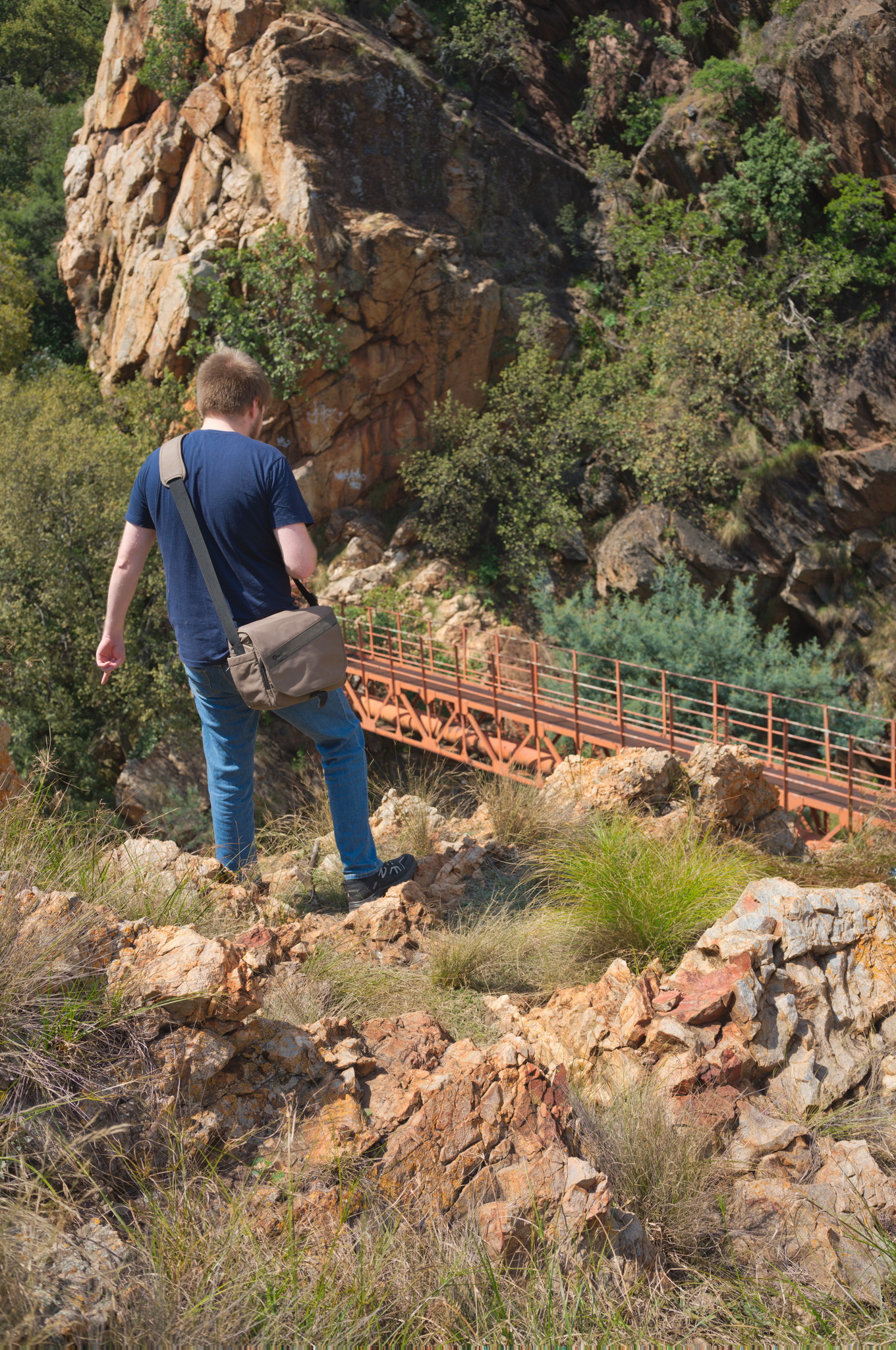
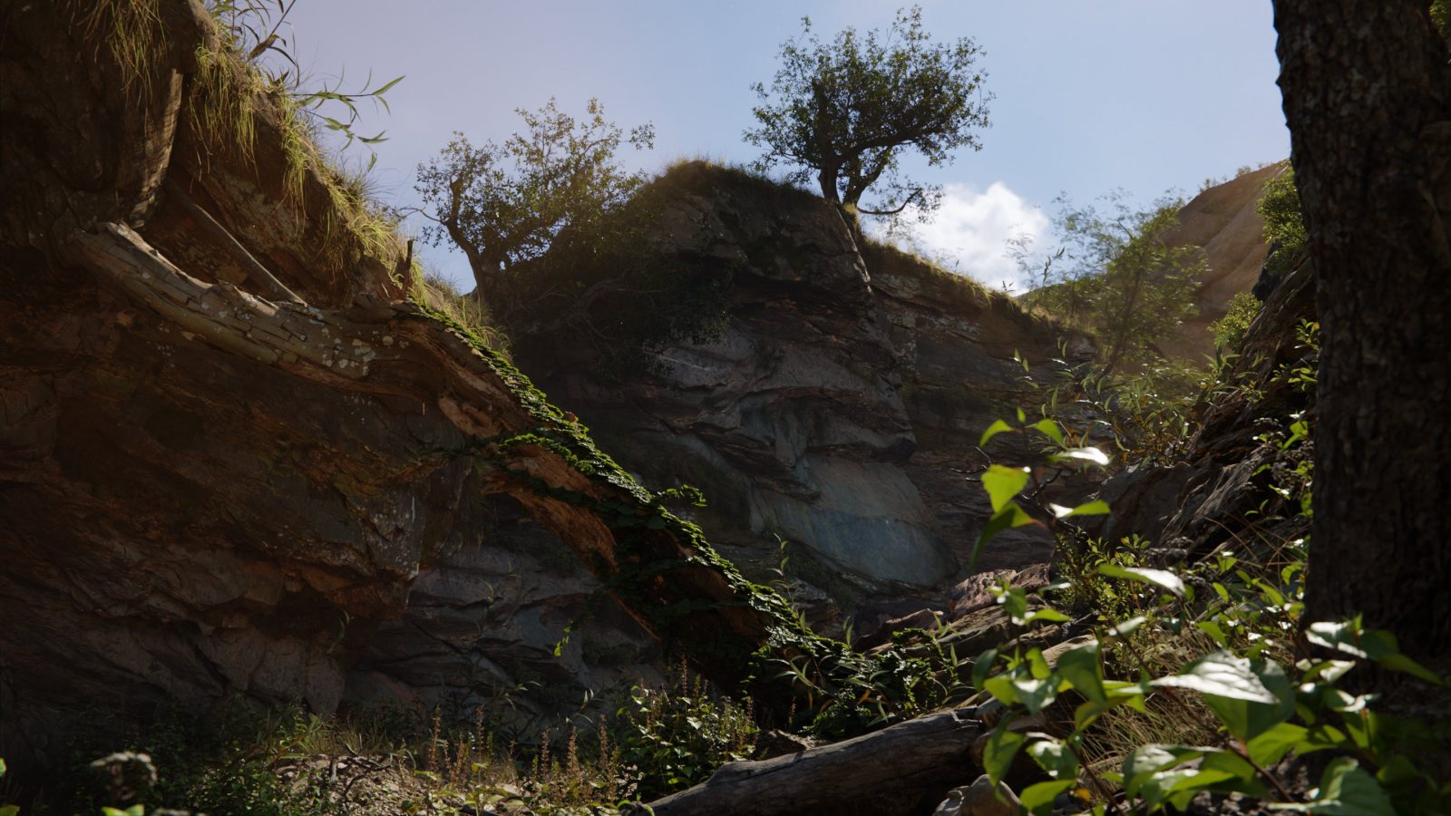
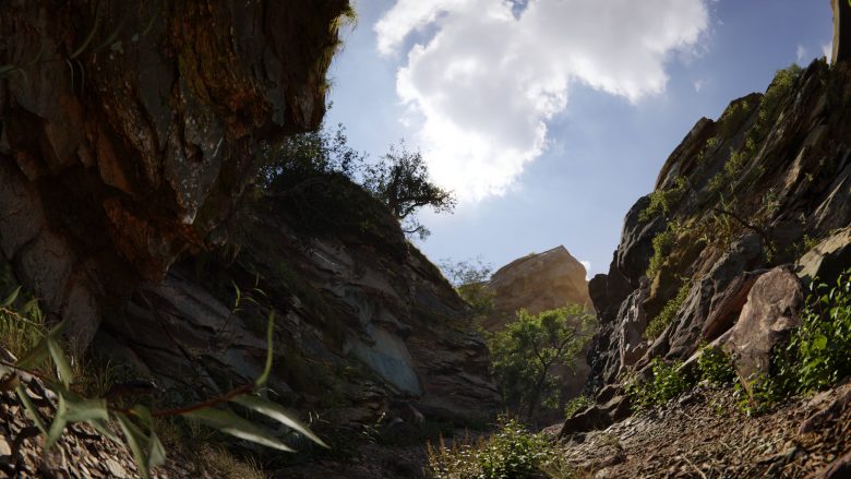
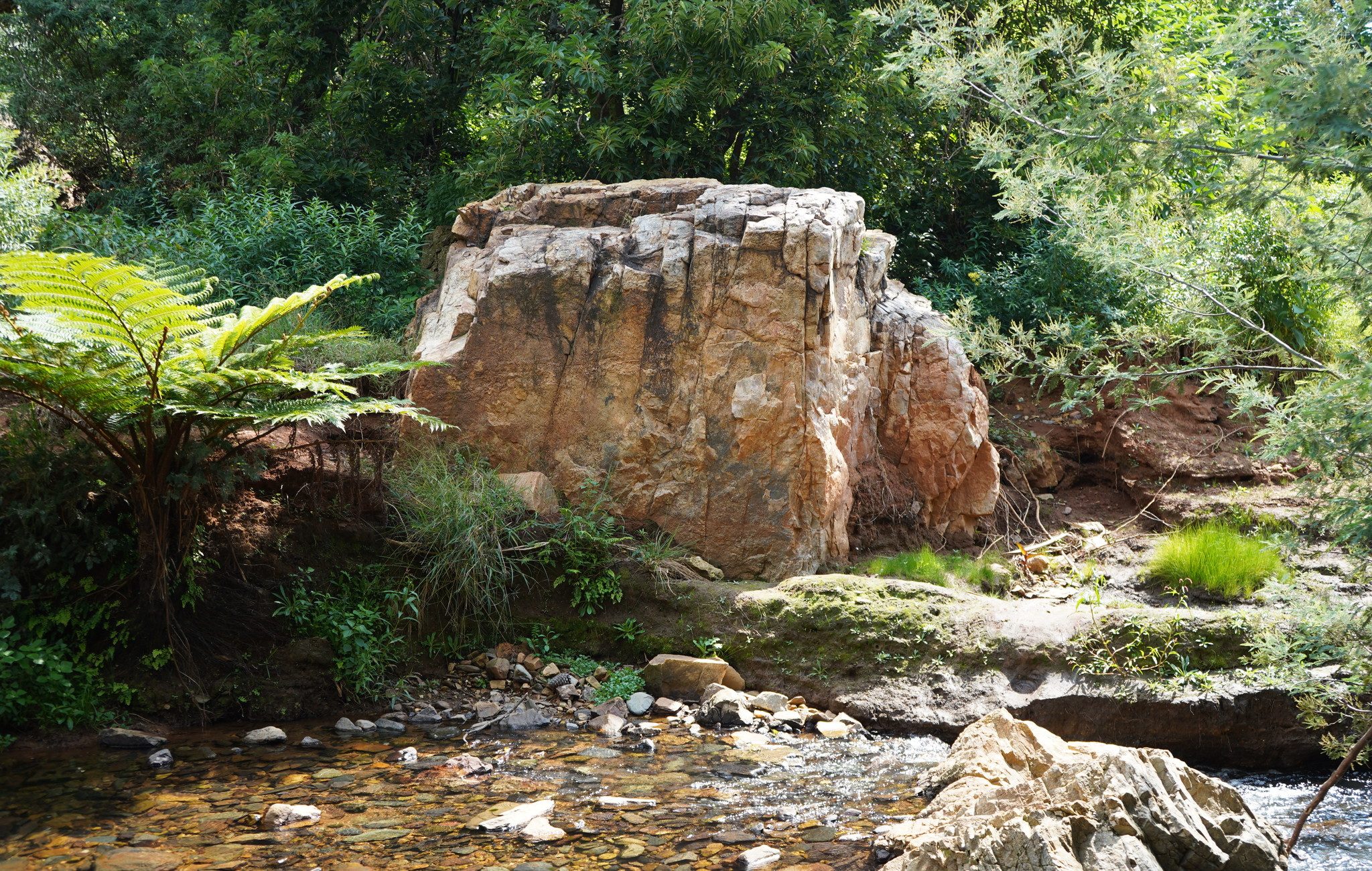
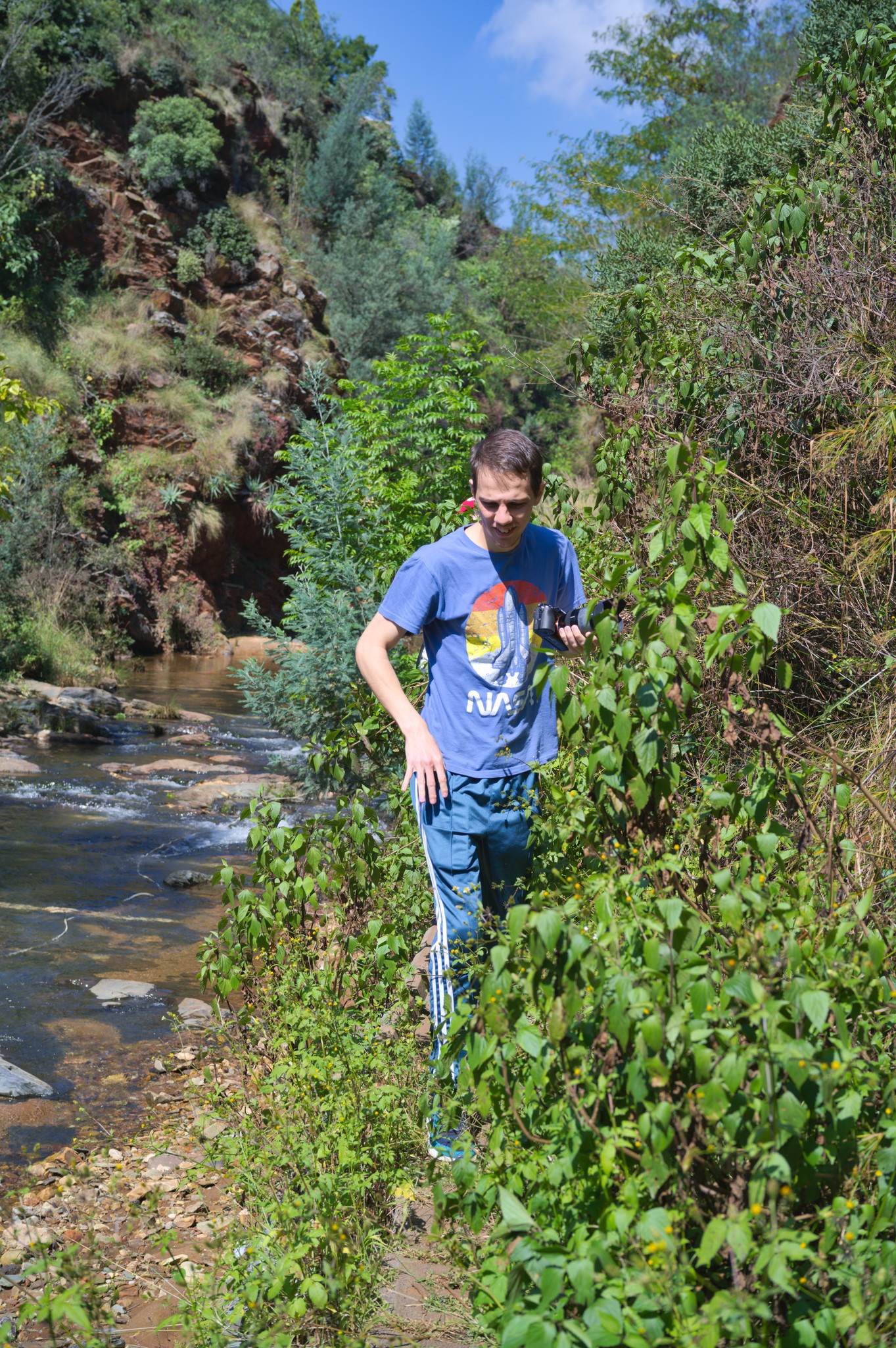
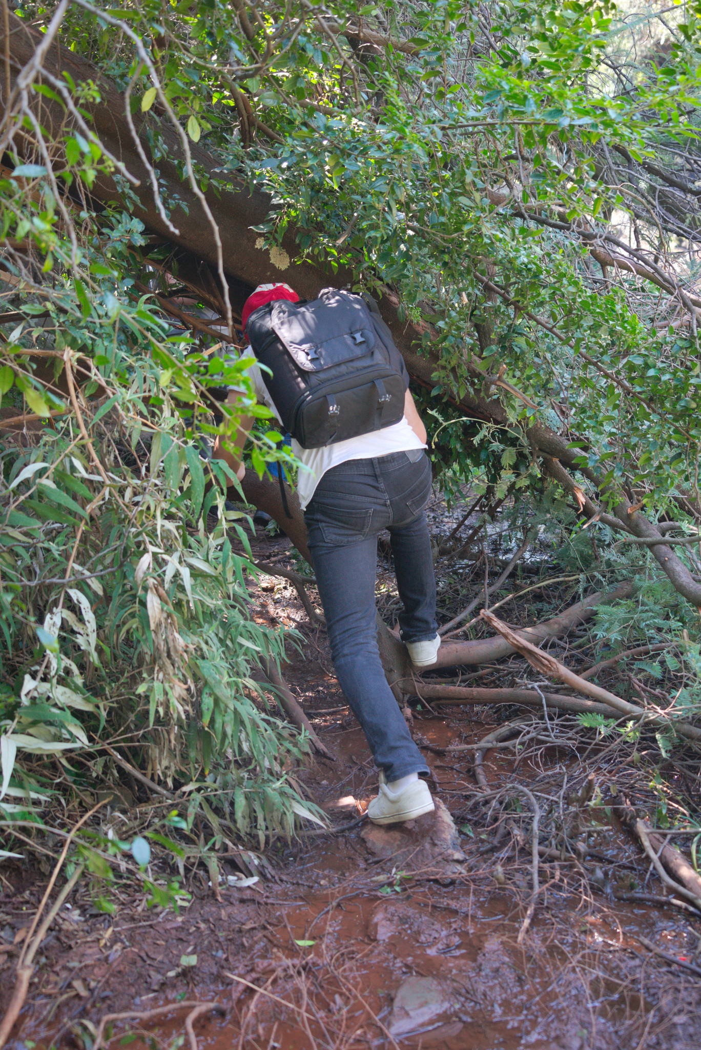
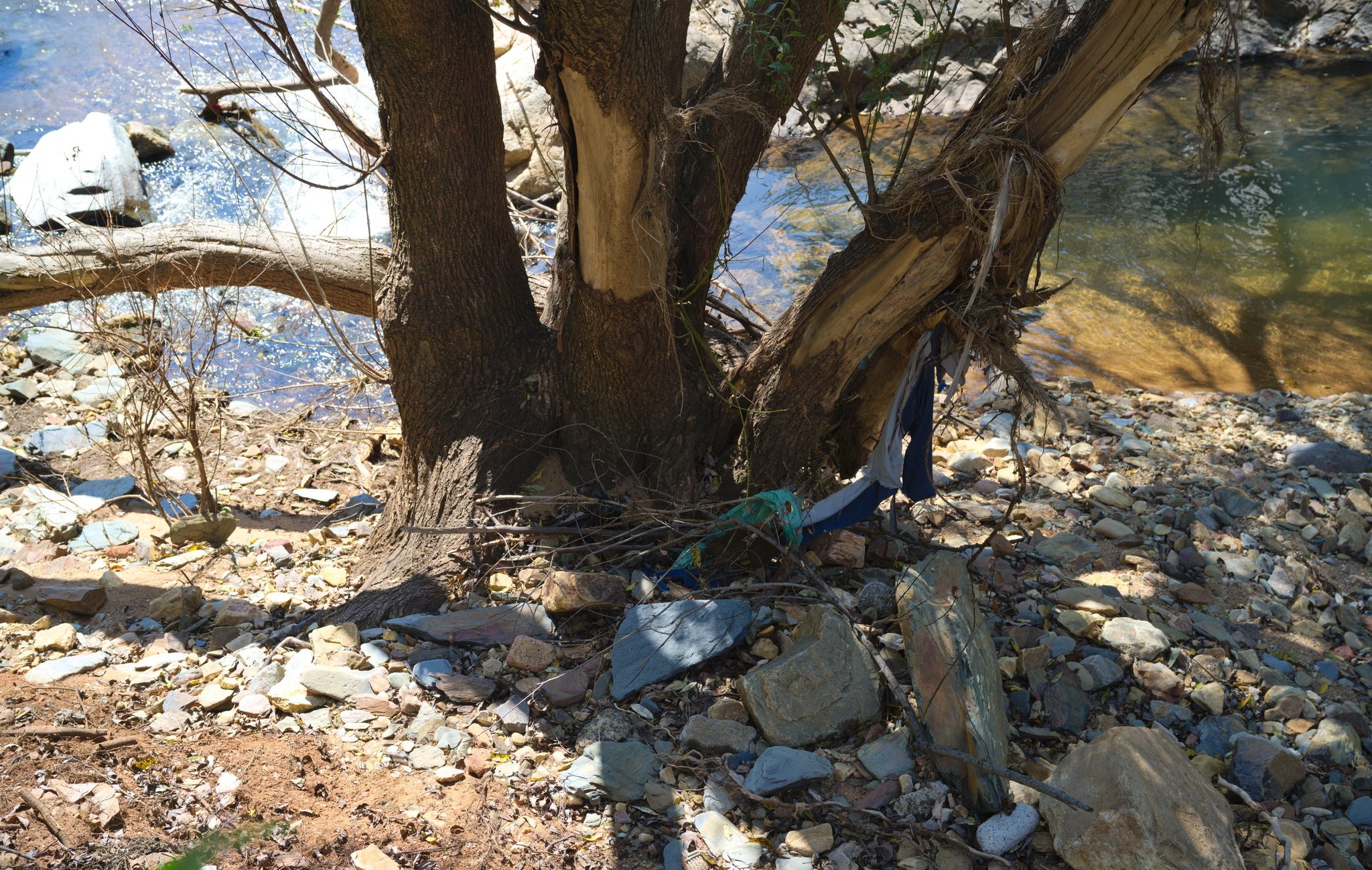
Our primary reference was a small rarely-used public park, home to the waterfalls that the suburb is named from. The path is generally overgrown and runs treacherously alongside the polluted river.
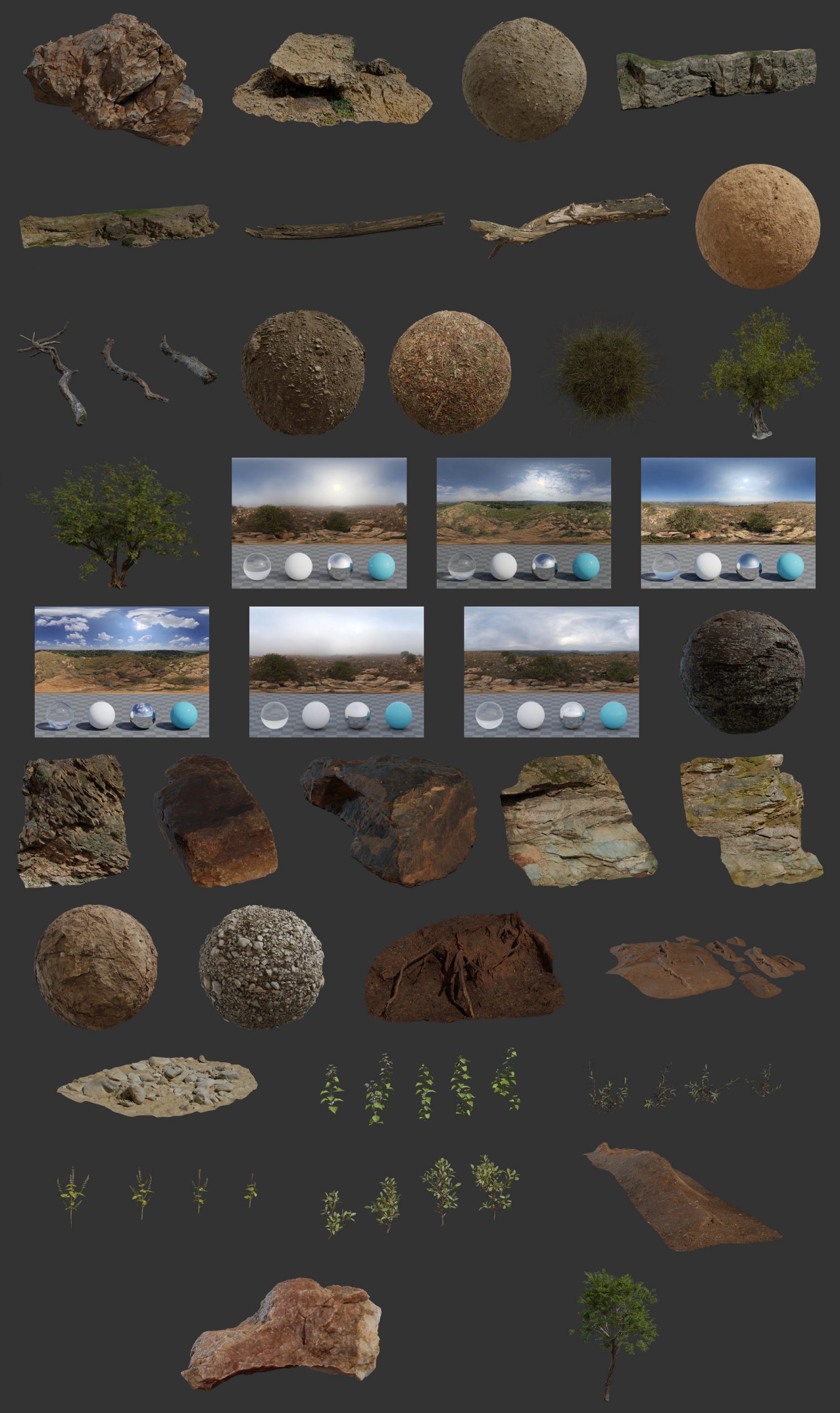
There were plenty of rock faces to scan, though much of it was covered in wild grasses and proved a bit challenging to process. We later also visited other nearby parks and reserves to scan more surfaces that were a bit less overgrown.
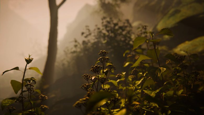
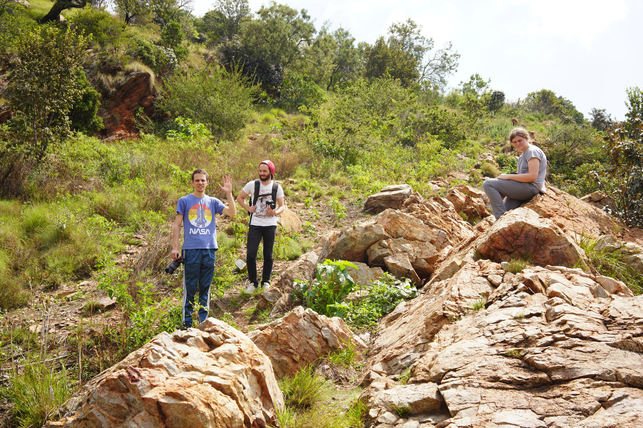
There was a wide variety of vegetation and rock types densely packed in this small area, we had to be careful to create a mockup of the final scene and a wishlist of the assets we would really need before going and capturing everything. We wanted to avoid being too overwhelmed for our first biome project.
Overall the project was a great success!
There is always more to scan, but we learned a lot about what is required for scanning things in the wild, such that we were able to travel to Namaqualand in September to capture that biome as well. We’ve started processing those scans too now, but that’s a story for another blog post 🙂
Until next time, thanks for your continued support on Patreon, and we look forward to seeing what environments you make with our new assets!
That is an amazing job you’ve all done. Congrats for that!!!!
Looks great! I would like to see some aerial HDRI images though. From low altitude a few meters up and higher altitude to give a good overview of the area. useful for backgrounds for flying characters or vehicles.